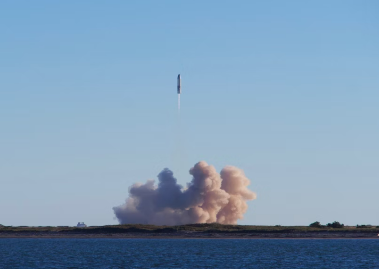
Accurate inertial navigation solutions is the indispensable backbone of operations across sea, land, air, and space. Whether guiding a container ship through dense fog, an autonomous mining truck deep underground, a fighter jet in electronic warfare, or a spacecraft during orbital insertion, the inability to access reliable GPS signals poses a critical risk. In these GPS-deprived, obscured, or intentionally contested environments, operations can grind to a halt, and safety is severely compromised.
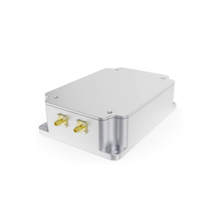
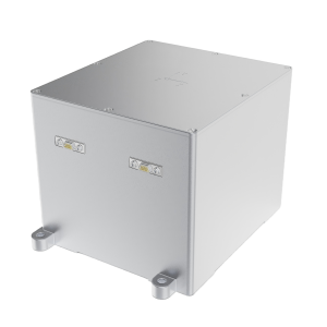
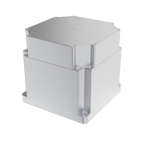
HX Gyro specializes in overcoming these challenges by delivering seamless, continuous, and highly reliable navigation solutions. Our advanced inertial navigation systems (INS) and inertial measurement units (IMUs) are built upon core technologies like fiber-optic gyroscopes (FOGs) and precision accelerometers. These sensors form a self-contained navigation suite that provides continuous data on position, velocity, and attitude—completely independent of external signals.
Through sophisticated sensor fusion algorithms, our inertial navigation solutions intelligently blend inertial data with other onboard sources to maintain exceptional accuracy even during prolonged GPS outages. This ensures that critical missions can continue and commercial operations remain efficient and safe, regardless of the external environment.
For maritime clients, this means enhanced dynamic positioning and safer voyages. For land systems, it enables uninterrupted autonomy for driverless vehicles. In aerospace and defense, it provides the trusted guidance necessary for mission success in high-risk scenarios. At HX Gyro, we are committed to setting the global standard for resilience and precision, empowering our customers to navigate with confidence anywhere on Earth and beyond.


 Inertial Navigation System (INS)